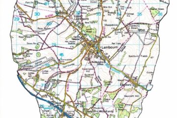
The Lambourn Environmental Group have been working with Lambourn Parish Council to map locations of hedgehogs using LPC’s online mapping system for council assets and other items of interest called Parish Online. Please click here to see the new Hedgehog Collaborative Map that has been added, where the following can be recorded;
• Hedgehog sightings
• Hedgehog homes
• Hedgehog fence holes
• Food and water sources
The Parish Council offered this capability to the Lambourn Environmental Group to help increase awareness and enthusiasm for helping hedgehogs in the parish. Their hope is to plot the data to build a picture of where more help is needed.
Hedgehogs are a vital part of the food chain and great for balancing the garden ecosystem, so protecting something this small can have big positive impacts to the local environment.
For the data to be most up-to-date we are therefore asking parishioners to send new information they have in any or all of the four categories above to trees@lambourn.org so that we can enter it onto the map. All the villages in the valley are welcome to submit information.
Your postcode and house number/name is the minimum we need. However, if you could include a precise Ordnance Survey grid reference for each item in the four categories that will be even better. Grid references can be found from https://gridreferencefinder.com/.